Valeo Drive4U Locate is an affordable, precise and robust localization and mapping solution for Automated Driving developed by Valeo.
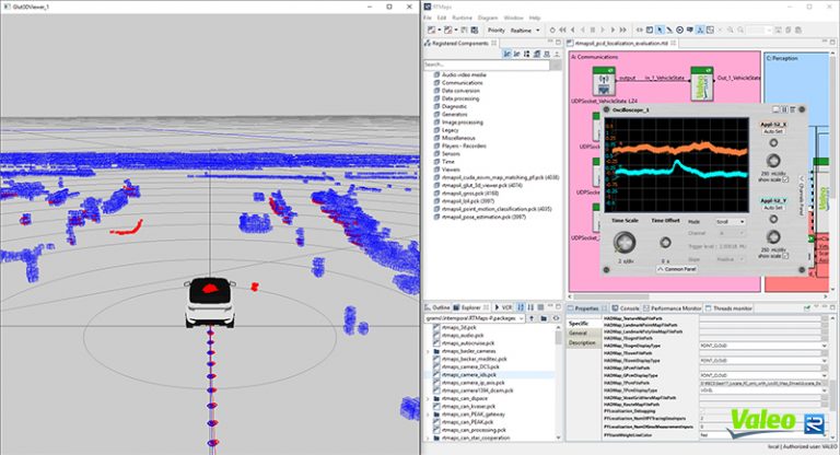
This solution enables centimetric accuracy in poor and denied GPS conditions, it is suitable for indoor and outdoor applications, in urban and highway scenarios, including large scale areas and is compatible with existing HD Maps (e.g. HERE, TomTom).
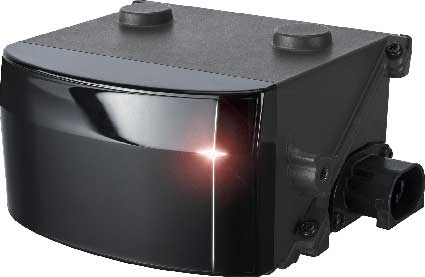
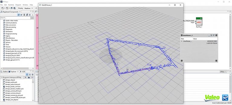
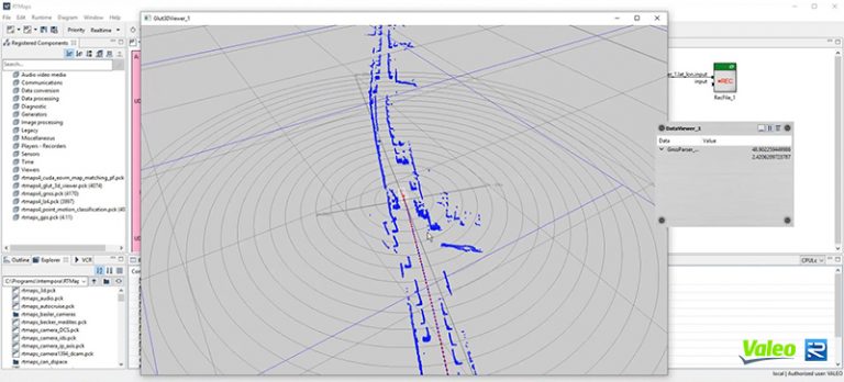
The complete solution allows any vehicle equipped with at least one laser scanner (e.g. Valeo SCALA Lidar) to build a 3D map of its environment and localize itself accurately using Valeo proprietary SLAM. It also allows to maintain an up-to-date localization map by crowd-sourcing.
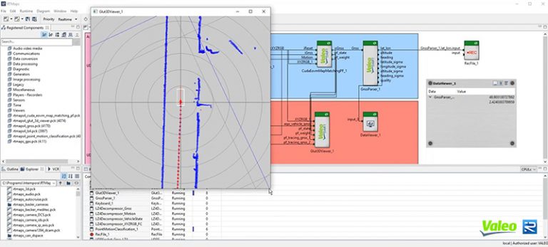
VALEO DRIVE4U locate in RTMAPS
A part of this solution is now available in RTMaps for rapid prototyping (PC Windows/Linux) and rapid embedding (NVIDIA embedded boards), and provides the following capabilities:
Point cloud Mapping
Point cloud live map update
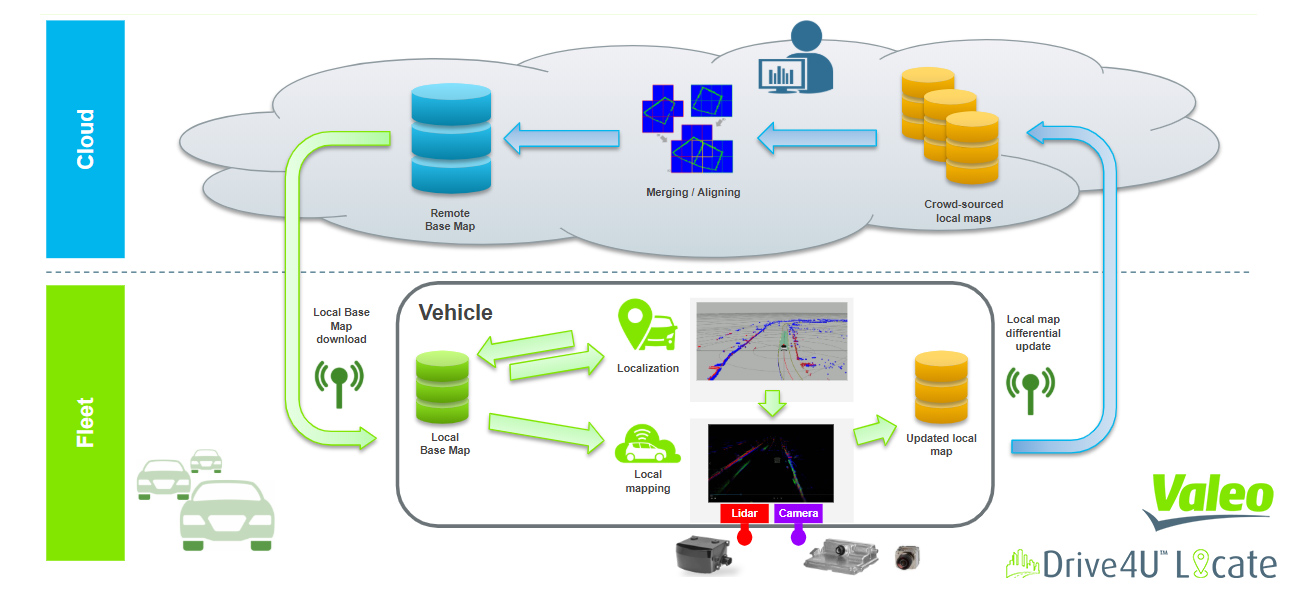
Valeo drive4U locate WORKFLOW
Valeo drive4U locate GALLERY
Please, fill the form below.